Showing posts with label Lord Arthur's Hill. Show all posts

Wednesday, 29 December 2021

An atmospheric walk on the Correen Hills

When Allan, Lorna and I made plans to meet for a walk over the Correen Hills the forecast suggested a misty start - and that's what we got.  We'd taken a hand-saw to cut away some of the branches from trees fallen during Storm Arwen and which were making progress up the forest and onto the ridge hard going - a 45 minute spell of trimming has made the route a good deal easier.

Emerging onto the ridge we had visibility of just a hundred metres or so for three quarters of the way around the broad, curving ridge.  But as we approached the path junction near Edinbanchory Hill which marks the turn towards Lord Arthur's Hill the mist began to thin and we strode on in ethereal light.


Looking across the valley of the River Don, Coiliochbhar Hill emerged from swirling mist.  This hill has given it's own wonderful misty conditions in the past.


Our pace sowed right down as we stopped frequently to watch the changing scene; ridges and hills appearing and disappearing as the mist boiled, dissipated and re-formed - the effect was quite magical.


We seemed to be in an area of relatively clear air, in each direction a thick cloudbank was evident.  Underneath everything was grey and monotone, around us the light was superb.


 We made the final pull up onto the summit of Lord Arthur's Hill in bright sunshine.  The lack of wind allowed us to sit for half an hour and enjoy the changing views in comfort - in late December!  As we went down the hill towards Tullynessle the air chilled and the mist began to re-form - but what an atmospheric walk it had been!

Friday, 15 January 2021

Night walking

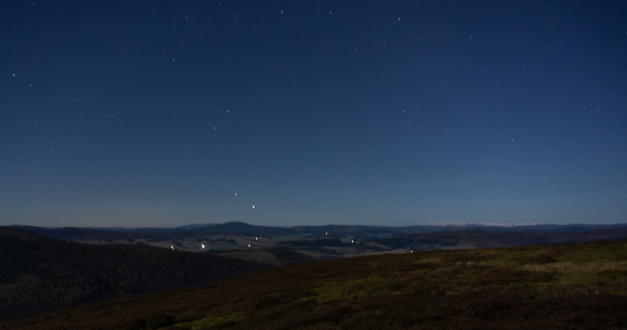
A catch-up post from November 2020, on an evening with a really bright full moon.  I set out from home well after sunset with the full moon up above the farmland of Aberdeenshire and the forecast of a clear night to come.  The plan was to take a night walk around the Correen Hills by night.  I expected to be using a head torch for much of the way, but in fact the torch stayed in my pocket the entire four hours I was out, so bright was the moonlight.


High on the ridge, three hours into my walk and four hours after sunset.  To the right of this image, the snow covered mass of Ben Avon, one of the Cairngorm giants, was clearly visible 50km away - the air was gin-clear and the moon was arclight bright; just a beautiful night to be out on the hill.


 From the summit of Lord Arthur's Hill, the village of Alford lay in a haze of frost and woodsmoke.  to the extreme left of this image are the distant lights of the city of Aberdeen - another world.  The top of the image shows a satellite pass in the long exposure - purely by chance.  

I'd forgotten how pleasurable walking by night can be. If you don't embrace at least starting and finishing walks and other activities in the dark during Scotland's winter months, it can be very limiting.  But deliberately setting out for a night walk is something I'd fallen out of the habit of doing, and I intend to do more of this in 2021.

If you want moonlight, the formula is fairly simple, given clear or reasonably clear skies:

Full Moon - rises near sunset, sets near sunrise - bright
3rd quarter (7d after full) - rises very late evening - reasonably bright
New moon (14d after full) - rises near sunrise, sets near sunset, dark skies
1st quarter (7d before full)- sets very late evening - reasonably bright

Friday, 1 January 2021

First footing

New Year's Day dawned raw and cold, but mainly dry - a contrast to the grim conditions of the previous day.  Whilst "first footing"  family, neighbours and friends isn't allowed this year due to Coronavirus restrictions, first footing a local hill could certainly go ahead.

I chose Lord Arthur's Hill, the highest of the Correen Hills, partly because it's very close to home but mostly because during the most restrictive part of 2020's lockdown when travel was severely curtailed these were my "go to" hills and gave such a lot of space and exercise.


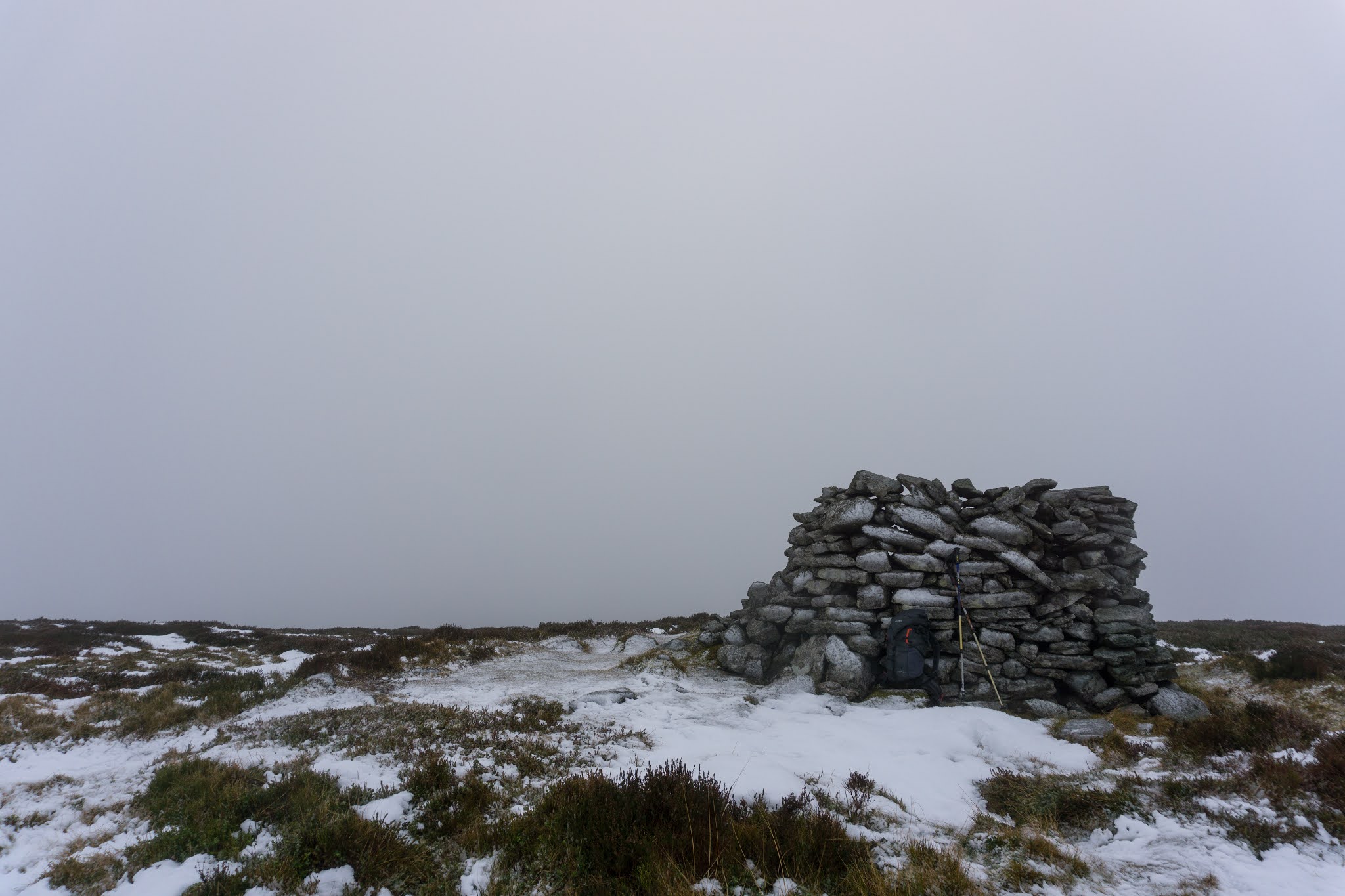
The approach track was very icy, higher up on the hill the snow was quite deep but sugary.  Sub-zero temperatures forecast for the first week of January will harden it and make for easier going than I experienced. Snow showers came and went as I climbed into the cloud.


It was bitterly cold at the summit with a raw northerly wind - and no place to linger; especially since there wasn't a view.  The new year was barely 10 hours old and I was definitely the first visitor of the year.  After a few minutes I headed off the summit by a different route than that I'd climbed to give a partial circuit.


 I headed down to a wood on the Fouchie Shank where I knew I'd find shelter from the northerly wind and where I've previously camped.  In under the trees it was calm if not particularly warm and I could sit and make cup of tea, pleased to have been the first foot on this "home" hill.

Tuesday, 26 May 2020

One good thing - 23rd and 24th May 2020


The weekend once again gave opportunity for longer walks - two routes of just over 20km each and both starting and finishing at my front door.

The first route was on Coiliochbhar Hill, a 533m/1749ft wooded hill to the south of the river Don near Alford.  I've climbed this hill several times, but each time from the south.  I took a different route, and found it a very tough day for such a small hill.  This image is the view to Lord Arthur's Hill from Coiliochbhar Hill.  The Correen Hills, and particularly Lord Arthur's Hill have been the mainstay of my long hillwalks during the lockdown period.


Descending Coiliochbhar Hill there's a nice view over the valley of the River Don, with Bennachie in the dstance.


Next day I did a circuit of the Correen Hills and looked over to Coiliochbhar from Lord Arthur's Hill.  My route had taken me from left to right in this picture with a descent down a natural woodland slope on the right.  Getting back to the start along the riverbank was surprisingly hard going.

In the two months of lockdown, with walking confined to the local area, I've managed over 700km of walking; almost all this has been setting out from and returning to the house.  I've discovered a lot more about my local area, which is one good thing, and lost over  half a stone (4kg) in the process, which is another good thing!

Monday, 18 May 2020

One good thing - 17th May 2020


The weekends give opportunity for longer walks, and once again routes on the Correen Hills have been the logical choice, walking directly to and from home on long circuits.  Both days had similar weather with early rain clearing to give bright and breezy conditions, flotillas of clouds racing overhead and clear air.  The freedom and space these hills have offered through the lockdown will be long remembered, great striding routes where other people are seldom seen.


One of my routes over the weekend was this 21 kilometre circular walk which could be started and finished from quite a few different points, there's around 500 metres of ascent involved and it covers a nice variety of moorland, wood and farm tracks - there's a good track the whole way around.  One of the features of these hills is that distance just seems to reel away.


Alternating cloud and bright sunshine made for some dramatic lighting effects as in this view from the summit of Lord Arthur's Hill over to Bennachie, the hill dark in shadow and lower ground covered in gorse making for a brilliant contrast - it was all good.

Saturday, 28 March 2020

One good thing - 28th March 2020

Today, many good things combined in one good thing on a longer walk (though still directly to and from my back door) on the Correen Hills.


A searing northerly wind with temperatures most definitely in winter values.  Being able to stride out on the broad ridge, constantly changing light.


Being alternately in bright sunshine which belied the knife-like wind, then cringing through stinging batterings of hail and snow.  Having to crouch with my back to the worst of the squalls. Being intensely grateful for every single minute of it.

Sunday, 7 January 2018

Mostly downhill on The Correen Hills


 In this first week of 2018, Allan and I had been lucky enough to share a day's sea kayaking and a hillwalk already - and on 7th January conditions looked superb for another hillwalk.  We'd looked at paddling but strong northerlies on the previous day had left a legacy of big swell; however light winds and blue skies would be perfect for hillwalking.

Our concern was the state of the roads - icy conditions have prevailed since before the turn of the year and the night of 6th/7th January was to be very cold.  We decided on a walk along the Correen Hills ridge just a couple of miles from my home - and since we'd have two cars available we could make a linear route.

The morning was indeed very cold, but by the time we met at 0930 temperatures had risen to -5 Celcius.  We left one car at Dubston where we intended to finish, and then drove up to the top of the "Suie road" to park in the forest parking area at the start of the Gordon Way.  A look at the map will show that we'd start our walk at 390m, our high point would be 518m and our finishing point would be at 200m.....a mostly downhill hillwalk  :o)


 It really was a great morning to be out and about.  The route goes west along a wide forest road and we had the late morning sun at our backs.  There was almost no wind and the frozen ground underfoot was making for fast walking.  At the point where the track begins to head downhill, a narrow firebreak leads gently uphill to emerge from the forest......


 ...onto the broad ridge near the cairn known as Peter's Prop.  The views from the entire Correen ridge are very wide - ahead of us in the distance, Ben Rinnes was a glistening white pyramid,  and at the left of this image, the Buck o' the Cabrach showed its best aspect.


 To the north, Tap o' Noth's distinctive cone was capped with snow, we could just make out the walls of the hillfort crowning the summit.


 The Correen Hills curve around as a broad arc shaped like a large "C" facing south east and enclosing two moorland valleys.


 There are tracks along most of the ridge and the going is generally good (though with a few boggy bits in wet weather) and with very gentle gradients.  As the ridge curves around, the views ahead constantly vary - Tap o' Noth and the Buck dominate the first section.


 The south west leg (the back of the "C") has three tops, Badingair Hill, Brux Hill and Edinbanchory Hill, though there's negligible ascent between all three - barely 30 metres.  You can stick to the fence line on the broad crest of the ridge, which is also an estate boundary, or take the track just below the skyline.  The snow was a little deeper on the southern slope aspects and was glittering in the bright sunlight.


 Ahead, the high point of the walk is the dome of Lord Arthur's Hill.  There's a sense of great distances on these hills - but each time I walk the ridge the same vanishing trick seems to take place as what seems like a really long way just reels off almost effortlessly.


 We were soon on the final short climb to the 518m/1699ft summit of Lord Arthur's Hill.  This is a "Marylin" and so is the summit folk head for.  We met a couple and their Springer Spaniel at the summit shelter, and agreed that this was one of the better ways to spend a Sunday! In fact, Allan and I met more folk on our walk today than I've met in the previous five walks combined - it's good to see this ridge getting more walkers; it's well worth the effort.


 We stayed at the summit, enjoying lunch and the views, until numb fingers reminded us that the temperature was still well below freezing.  Our descent headed down the Fouchie Shank, a broad and easy angled ridge with views ahead to Aberdeenshire's iconic hill, Bennachie, which from this angle looks a little different from the classic view.


It's a good descent down through scattered woods of pine and larch to meet a farm track at the base of the Fouchie shank.  Valley temperatures were, if anything, colder than on the ridge and the most difficult terrain of the whole walk came within a hundred metres of the car we'd left at Dubston where the farm track was heavily iced.

Once again, the Correen ridge had given a really good day's hillwalking....although our route had been mostly downhill!  If you walk this using two cars as we did today, it's about 14 kilometres with only about 210 metres of ascent and about 350 metres of descent - it takes about four hours.  If you only have one car, starting at Dubston and gaining the ridge via the Contlach Shank gives a great loop - this route is described here

Tuesday, 12 January 2016

Low sun and high wind on the Correen Hills

The next few posts on the blog are from a period in November 2015 when a strong northerly airflow lay over Scotland bringing cold, windy  but mainly dry conditions. The forecast was for the strong winds to continue for most of the month with persistent gale to severe gale conditions over the higher mountains and rough conditions on the sea offering little chance for sea kayaking.

 Good conditions might be expected on the lower hills though.  Since day lengths were short I decided to climb some of  hills closer to home - and where better to start than with the Correen Hills just a few minutes from the door....


I started out from the road which skirts the eastern side of the Correen Hills intending to take in the whole ridge then walk back to the house, giving me a nice starting height and a hillwalk which would have more descent than ascent.  As a bit of a bonus, the low winter sun would be at my back for most of the walk.


After following the track for a few kilometres a faint path is taken up a narrow firebreak which leads out onto the open moor near the summit of Mire of Midgates.  This point was also where I came out of the shelter of the forest and ridge into a chilling northerly wind - it would be a day better suited to fast movement than dawdling.


A trig point at 487 metres lines up with those on Tap o'Noth to the north (which I would visit a few days later) and the Buck o' the Cabrach to the west.  Visibility was very good in the cold air, hampered only by the eye-watering experience of trying to look into the teeth of the wind!


At the opposite end of the Correen Hills, Lord Arthur's Hill is the termination and also the highest point of the broad horseshoe ridge.  Each time I walk these hills the trick of perspective is the same, the distance between hills and around the whole ridge looks long, but the ground is covered in much less time than might be imagined.


High on Brux Hill (really just a faint rise in the ridge line) are three generations of boundary marker-  a modern wire fence, an older straining post for a wire fence and a Victorian boundary stone - the "D" indicating (I think) Deskrie estate.


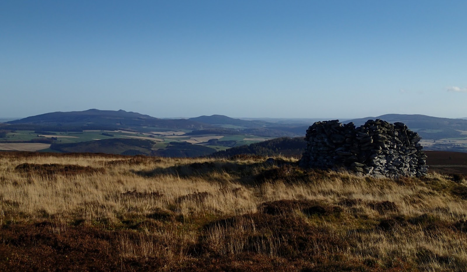
A couple of invigorating hours later I made the final pull onto Lord Arthur's Hill, at 518 metres/1699 feet a "Marilyn" - defined a British hill with at least 150 metres ascent all round, regardless of height.  One of the features of Marilyns is that they tend to give a good view and this one is certainly no exception, this image looks past the large summit shelter cairn across the Howe of Alford to Bennachie.

The cairn is actually a circular shelter and I was glad to be able to hunker down out of the wind to take a brief stop.  Luncheon was a spartan affair of fruit, nuts and a drink of water; enough to keep me moving towards a bowl of home made soup back at home a couple of kilometres away at the base of the hill :o)


As soon as I began my descent down the long spur of the Fouchie Shank I dropped out of the worst of the wind and into much calmer conditions.  It pays to move quietly on this part of the walk, there are often close views of Roe Deer and on this occasion I was treated to the sight and sound of a flock of Bullfinches moving through the trees.

The track reaches the road near the small and inhabited castle of Terpersie and Dubston farm.  If doing this walk as a circular route there's space for a couple of cars to park at the road-end where the farm access track starts. 

The route described above is 14 kilometres and takes about 4-5 hours.  The starting point has plenty of parking at the Gordon Way car park.  I think that the Correen Hills are underrated, but since they're virtually on my doorstep, I may be a little biased!

Friday, 26 December 2014

A Christmas cracker

Boxing Day dawned cold and frosty, I stepped out from the house for a walk on the Correen Hills into a bracing -6 degrees Celsius, ideal conditions for walking off festive food!


The frost had been deep and penetrating and wouldn't lift all day.  Thin winter sunlight lent some brightness but not much warmth through a haze of frosty cloud.  The world seemed somehow stilled and there was barely a sound to be heard on the walk up a the valley on a farm track.


The only running water was in a small burn coming from the slopes of Manabattock Hill which had created miniature chandeliers of ice, improbably suspended from just one reed.


Climbing out of the valley via the Fouchie Shank got me into the sunlight which felt a degree or two warmer than the blue shade in the valley.  Ahead the slopes of the day's objective of Lord Arthur's Hill with the line of shooting butts visible on the skyline.  The climb isn't steep but I was at least able to walk some warmth into cold muscles.  The ground was bone hard, every drop of moisture locked into ice. 


A mix of snow and frost formed a light coating on the ground and the frost had lent the heather shoots temporary white flowers of exquisite delicacy. The constrast between these miniature wonders and the wider view was startling.....


...to look up from the ground was to have the eye drawn miles through the frosty air.  To the north west lie The Buck o' the Cabrach and far Ben Rinnes.


To the south the view is dominated by Lochnagar, the elegant ridgelines of the mountain could be clearly picked out through binoculars, the air was gin-clear in this direction.


After a brief stay at the summit of Lord Arthur's Hill I turned to the southeast and headed back down towards the warmth of home and family.  My walk had been barely three hours, but what a Christmas cracker......

Saturday, 26 April 2014

Small hill, wide skies


 Ahead, Lord Arthur's Hill is a swelling heather dome.  Paths go to both the north and south sides of the hill so there's normally an option to stay sheltered from any adverse weather on the short climb.  The ascent from the general level of the Correen Hills ridge is just 80 metres and at a gentle angle.


The Gorse is in full bloom even up here on the exposed hillside; the distinctive coconut smell of the flowers quite strong in the sunshine.


On the short climb, the view across the valley of the River Don is to Coiliochbhar Hill, the last hill I climbed prior to a long spell at work.


From the summit shelter on Lord Arthur's Hill the view is much wider than the modest height of 518m (1699 ft) woulod suggest.  The view to the east extends alll the way to the North Sea near Aberdeen.  Closer to hand, my route home lies down the curving heather ridge; the house just beyond the spur above the green fields.


Looking back along the afternoon's walk, the full ridge can be seen.  I'd emerged from the forest just on the skyline and followed the ridge right to left.  The Correen Hills play a subtle optical trick in that distances look very long but reel off with little effort.  I consider myself very fortunate to have these super hills right on my doorstep.