Showing posts with label Loch Inver. Show all posts

Thursday, 4 May 2023

A re-boot

 When I started this blog back in 2009 it was primarily to create a record and to share some of the sights and experiences in Scotland's outdoors.  When things got busy with work or family life, the natural tendency was to post less, but lately I've really let it slip.  The last posts were some eight months ago - and they were recalling a trip in April 2022!  "Retirement" from a long career at sea in March 2022 was quickly followed by setting up a new venture in "retirement", so there has been a lot going on.

In my defence, I've been posting a lot on the Mountain and Sea Instagram page  and while enjoying the ability to post more or less instantly, I have missed the research and reflection that blogging offers.  

It's not like I haven't been getting out and about whether solo or with friends....  There have been some great sea kayak trips.... 


To the west - here on Loch Hourn


On the "home" patch of the Moray Firth in the northeast 


In the very heart of Scotland, here on Loch Ericht.

And in the far northwest, a here in Assynt.

The hills haven't been ignored either, whether in challenging weather


or in fair weather.


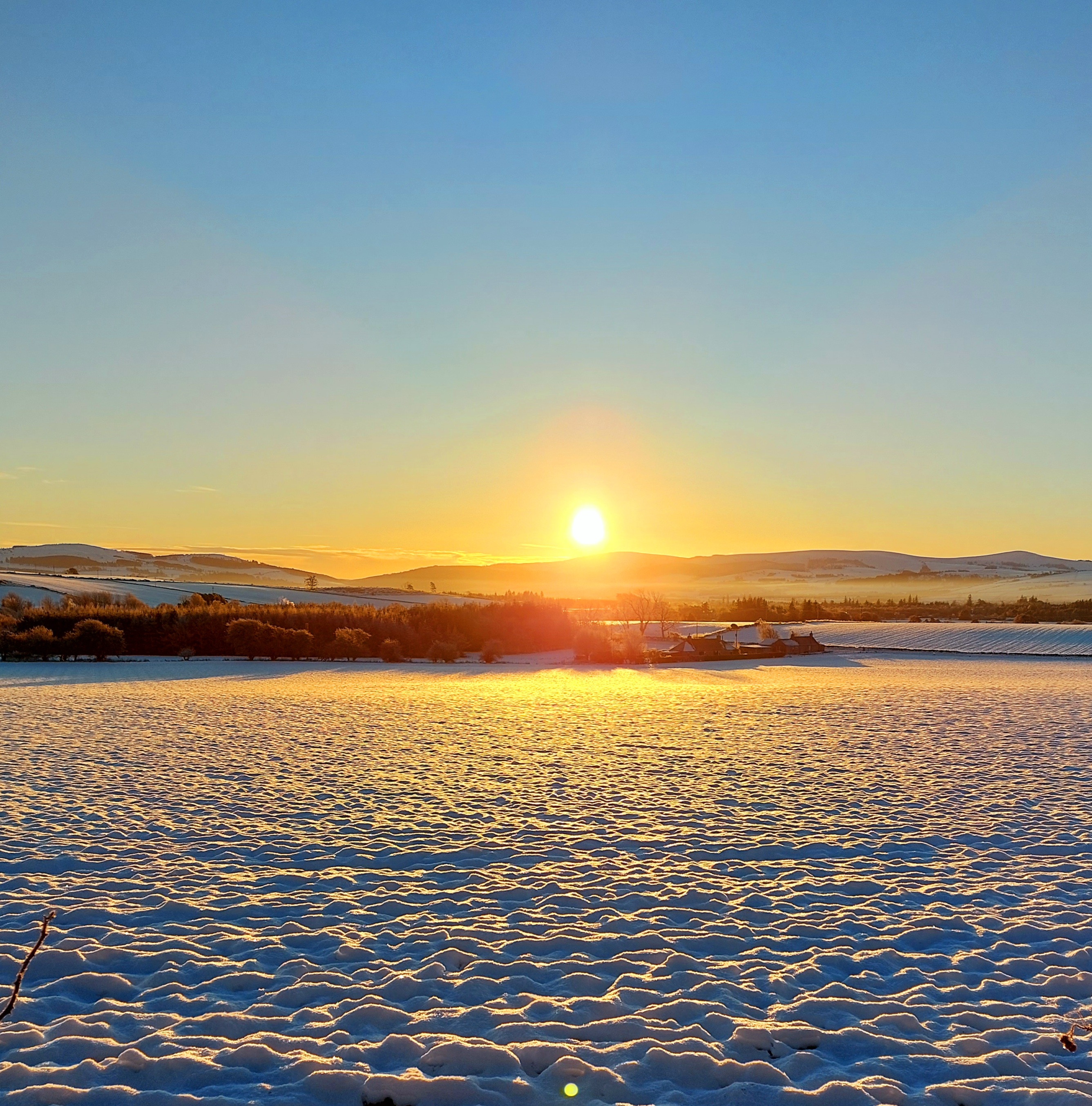
And talking of weather, the range of conditions experienced have been simply marvellous!


So that's the re-boot started, and hopefully I can do much better in posting here than of late!

Wednesday, 27 June 2012

Guests in the garden at Inverkirkaig


Leaving Soyea Island, my route back to Inverkirkaig first went across Loch Inver to Kirkaig Point.  A modern looking fishing vessel passed ahead of me on her way out of Lochinver; the "Kambur" (FD 454), a Faroese registered trawler.


South from Kirkaig Point, the entrance to Loch Kirkaig is another which is not immediately obvious from seaward. A small skerry lies in mid channel and the enclosing rocky arms conceal views of the loch on the approach.


Once past the skerry the view opens up nicely.  Loch Kirkaig is shallow and dries out for a kilometre at low water.  As along much of this coast, Suilven dominates the view inland.  The name Kirkaig derives from the Norse "Kirku vik" (church bay) indicating that there was once a church in the vicinity.

In this view, our accommodation at Kirkaig Chalets can be just made out as the shoreline building at the left end of the shore.


I was able to land at high water just in front of the chalet.  Carrying the boat up it seemed that we had guests...


Two Red Deer were busily cropping the grass, one of them on the enclosed garden area.  Both seemed to be quite young animals and were fairly small and skinny, perhaps reflecting the lack of really good grazing on this coast.


The deer were quite accustomed to being in close proximity of people and allowed fairly close approach.  Although the gate was shut and a fence enclosed the grassy garden, the method of entry and exit presented no problems!

Monday, 25 June 2012

The clear waters of Soyea


As expected from the map, the north side of Soyea appreared to offer no easy landing place.  This rocky inlet looked to be the best option, but would only be feasible in weather as calm as this.  Soyea may be a version of the Norse "Soay" (sheep island), and is certainly grassy above the rocky shoreline.


 The tiny lagoon in which I landed had crystal clear water; I spent some time exploring this miniature environment.


Brightly coloured weed was growing in layers between the rocks and concealing a fascinating world.


Colourful anenomes and multicoloured whelks were everywhere


Lifting my eyes from the macro world of the rockpool, the widescreen view to Loch Inver and Suilven was a huge contrast.  It was an easy spot in which to linger but the rising tide was my cue to move on as I hoped to land at Inverkirkaig near high water.

Tuesday, 19 June 2012

South from Achmelvich


After lunch at Clachtoll we headed back to Achmelvich, the afternoon sun warm on our backs.  From here I would continue south with the intention of paddling right back to our base at Inverkirkaig. 


South from Achmelvich lies the narrow inlet of Loch Roe. The entrance takes a sharp double turn before opening out into a pleasant loch with woods at its head.  This is the view from seaward showing how difficult the entrance is to identify - it's there somewhere!


 Continuing south, the point of Rubha Rodha was reflecting back the heat of the afternoon.


Past the point one is in Loch Inver.  The loch and town of Lochinver are dominated by the dramatic shape of Suilven (Pillar Mountain).  Suilven has a peculiar chameleon quality in that it looks completely different from different viewpoints.  From Lochinver the outline is unmistakeable.


Continuing across the loch, the island of Soyea was my next destination.  Whether I'd be able to land was another matter; the map was less than encouraging with no obvious spots shown.