Showing posts with label Mull. Show all posts

Wednesday, 15 June 2016

The colours of a summer evening at Fidden


The skerries and small islands west of Erraid are a compact maze of channels and pools which constantly change with the tide.  We threaded our way through the pink granite rocks in crystal clear water lit by the late afternoon sunshine until we found what we'd been looking for.....


...a tiny tidal beach of white shell sand hidden between two small islands.  We beached our boats and explored this lovely little spot; Allan and Lorna headed up to a small cave surrounded by wildflowers whilst Douglas and I waded across the tidal pool and scrambled up on sun-warmed granite to a spot above the beach.

Donald very sensibly decided not to bring his RIB into this network of shallow water and instead headed out towards Iona before rejoining us later on.


The colours were simply lovely.  Under a blue sky the warm light was showing the pink of the granite to great effect, the crystals of quartz and mica within the rock catching the light.  Primroses (Primula vulgaris) and Thrift (Armeria maritima) jewelled the rocks with their bright colours. 


Thrift is also known as "Sea Pink" and seen against the granite they seemed absolutely in their place - pink on pink.

We lingered at this beach for a while before paddling our way slowly back to the camp at Fidden where we could pull our boats up on the beach just below our camp.


We made dinner and ate al fresco -  venison stew and potatoes accompanied by a Sports Recovery drink of one's choice - food always tastes better this way!  It was at this point we discovered that this was the first evening of the summer as we experienced the attention of the first midges of the season....


After dinner we moved down below the high tide mark where the campsite allows small campfires.  We'd all brought a supply of firewood and soon had a fire lit; small but effective in deterring the early midges.  Out to the west a blush of evening colour in the sky heralded the start.......


....of a glorious sunset beyond the island Iona.....


...rounding off this perfect Hebridean evening.....

Tuesday, 14 June 2016

Light lunch at David Balfour's Bay


 This beautiful bay at the south of Erraid is marked on Ordnance Survey maps as Traigh Gheal (White Beach), but is better known as "David Balfour's Bay" after the principal character in Robert Louis Stevenson's novel "Kidnapped".

Robert Louis Stevenson (RLS) was born in 1850 into a famous dynasty of lighthouse builders.  His father Thomas was one of three brothers active in the Stevenson firm at the time - Alan had completed the Skerryvore lighthouse southwest of Tiree in 1844, considered by many to be the most graceful and technically perfect lighthouse anywhere in the world.  In 1867 Thomas and another brother David were joint Engineers to the Northern Lighthouse Board (NLB) and were appointed to oversee construction of a tower light on the Dubh Heartach (now spelled Dubh Artach) rocks, along with the Engineer who would supervise most of the actual construction, Alan Brebner.

Dubh Artach is a boss of black basalt at the outer edge of an extensive reef system which includes the Torran (Thunder) rocks which extend out from the Ross of Mull for many miles.  As can be seen in this large scale map, the rocks lie right in the track of vessels heading to and from the Firth of Lorne and heading from the Atlantic to the North Channel for the ports of the Clyde and the Mersey.  Erraid was chosen as the shore base and the quarry for Dubh Artach, the granite was of excellent quality and there was a shelter for the shore works.  A small village and port was established to load the cut stones, the Stevenson "template" was to try out the precise fit of each interlocking stone (which weighed several tons each) prior to shipping out to the rock.

In 1870 a rather reluctant RLS found himself on Erraid understudying his father and uncle.  He had little interest in the family lighthouse trade, preferring instead travel and writing.  This was anathema to the Victorian values of hard work and service by which Thomas Stevenson lived and RLS' failure to accede to his father's desire for him to follow the lighthouse trade would be the result of many quarrels and would strain their relationship to the end of Thomas' life.  In his own later life, RLS came to appreciate the towering achievements of his family much more and looked back on his time touring the lights and on Erraid with some fondness.  The Dubh Artach light was completed and lit in 1872.  Automated in 1971, it still shines out its two white flashes every 30 seconds, visible for 20 nautical miles.  The author Bella Bathurst has written a very readable book covering of some of the Stevenson lighthouses, including chapters on the construction of Skerryvore and Dubh Artach.

RLS didn't waste his leisure time on Erraid in 1870 and must have explored the island thoroughly when not engaged in his apprenticeship.  He had a real skill of observation and used what he saw to good effect when he wrote "Kidnapped" in 1886.  In one of the most memorable parts of the book David Balfour and Alan Breck Stewart find themselves unwilling passengers onboard the brig "Covenant" which is caught among the Torran Rocks in a gale at night, the bursting spray all around the ship lit by moonlight.  Despite desperate efforts to win clear, the "Covenant" is driven onto a reef and wrecked.  David is thrown into the sea and survives drowning by clutching onto a broken spar.  It is at Traigh Gheal he is washed up, exhausted and freezing.  He then spends several wretched days surviving on shellfish, which make him very ill, believing he will die on the island before two Gaelic fishermen make him understand that Erraid is a tidal island (the name is from the Gaelic Arthraigh meaning just that) and he manages to wade ashore to the Ross of Mull where his adventures continue.  The combination of historical fact, vivid description of actual places and great paced adventure make "Kidnapped" my favourite of all RLS' novels.


 Our own landing at Traigh Gheal was something of a contrast to David Balfour's - we landed in hot sunshine on an early summer afternoon with everything we needed for immediate comfort!


 Once our boats were drawn up on the white sands we took our gear up to some nearby rocks......


  .....then Allan, Douglas and I....


 .......emulated David Balfour in taking a swim.  We can report that the water was beautifully clear, and on the refreshing side of cool.  The contrast of an air temperature of 24 Celcius and a water temperature of 9 degrees Celcius produced a stinging exhilaration, and we didn't linger too long before heading up to sit and dry off in the sunshine whilst taking a late second luncheon.


 Donald had been doing a little exploring while we swam, which had clearly left him with a healthy appetite.  He felt no desire to further emulate David Balfour in eating raw limpets, but had obviously enjoyed his light lunch.........  :o)

After lingering at Balfour's Bay for an hour or so we packed the boats with some reluctance - on a day such as this it's a hard place to leave.


 Heading back around the tip of Erraid we had the choice of either heading directly back to Fidden via the Tinker's Hole to have an early dinner, or exploring the skerries and islands off Erraid and cooking dinner later.  With such lovely weather and daylight until at least 2200, this really wasn't a hard decision to make, so we headed out into the maze of rocky outcrops west of Erraid.....


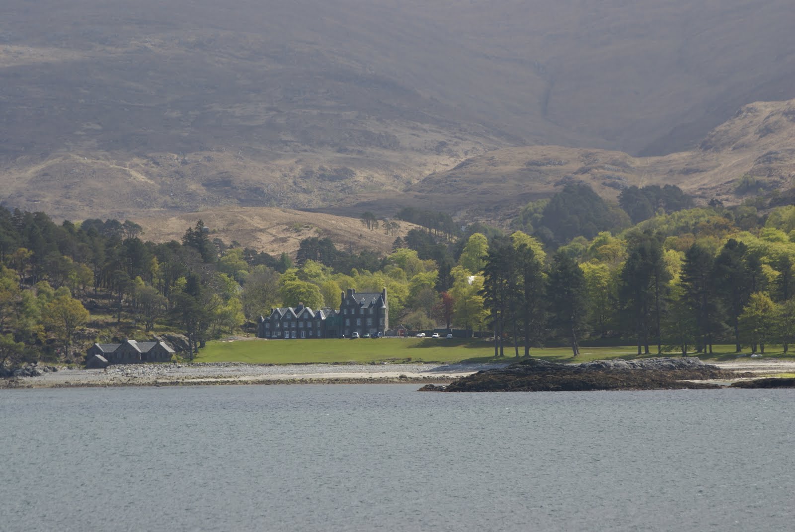
 ....passing the entrance to the Tinker's Hole channel.  On the highest point of Erraid, the small white tower is the former observatory and signal station used to communicate with the Dubh Artach light and, when the station at Hynish in Tiree closed, Skerryvore.  With the advent of radio, signalling was moved to Oban and the observatory fell into disuse but has been well preserved.


 We started up the chain of small islands, looking for a spot Douglas had mentioned as being worth visiting.... if we could find it!

Monday, 13 June 2016

Arid at Erraid - feeling the heat in Tinker's Hole


Once on the water we headed south from Fidden towards the tidal island of Erraid.  Straight away we were amongst rugged coastal scenery and rocky skerries.


The passage between Erraid and Eilean Dubh (Black Island) is well known to yachtsmen as it contains a popular anchorage.......


....known as "Tinker's Hole", so we weren't surprised to see this wooden masted yacht lying quietly at anchor.  Many of the yachting guides describe the anchorage as resembling a flooded quarry, but apart from a rocky platform on the Erraid shore I couldn't see much resemblance at all.


Paddling along below the granite outcrops lining the channel south of Tinker's Hole we felt the full force of the late afternoon sun being reflected from the sparkling pink rock.  The temperature recorded on my watch thermometer here was 26.5 Celcius; which is definitely on the baking side of warm for Scotland.....


...and unlike Donald we weren't able to create our own cooling breeze!  Donald was using an F-RIB 275 folding boat which, remarkably, fits folded down in the back of his car along with a small outboard and all the kit needed for multiday ventures.  Donald has added a bow spray shield and used his experience of other RIBs to make some customising tweaks; the result is that the "Guppy" at just 9 feet length is a really seaworthy craft for coastal adventuring.


We expected a little swell when we left Tinker's Hole but found calm conditions.  The south tip of Erraid is a series of granite outcrops, but conceals a real jewel of a spot.


Our pace on this afternoon paddle was very relaxed and we spent time just drifting, enjoying the situation, the sunshine and the views.  A quick check of the map and we paddled a little further along the coast......


...to the narrow entrance of a bay.  Lined with white sand below pink granite, the fringes of the bay are lovely and would have made great places to stop.


But ahead was our goal for the afternoon - a beach which simply couldn't be passed by!

Thursday, 9 June 2016

Set polarisers to "stun".....

The Ross of Mull takes a bit of getting to. A long arm of rugged land reaching out into the Atlantic from the southwest of the island of Mull, it's exposed to both weather and swell.  Once on Mull there's a single track road from the ferry ports at Craignure and Fishnish which weaves around sea lochs and through a hill pass for some 60 kilometres to Fionnphort at the western tip of the Ross.

The Ross of Mull and Iona are noted for pink granite rock, white sand beaches, aquamarine sea and an intense quality of light - all of which are seen at their best in clear and sunny weather, preferably with settled swell conditions.  It had been several years since either Douglas or I had paddled on the west side of Mull and this trip had been in our minds for some time before conditions and availability coincided;  we were really pleased that Allan, Lorna and Donald were able to make it too.  We arranged to meet up on the west of Mull in mid-May with a forecast of a run of sunny but perhaps breezy days to come.

You will be able to follow this trip not only in "Stereovison" on Douglas' blog, but this time in full "Trivision" by also reading Donald's thread here.


Many of the best journeys start with a sea crossing and getting to Mull will involve a ferry unless you paddle there.  Allan, Lorna and I travelled from the north and used two ferries, firstly at Corran then a drive over to Lochaline for the ferry to Fishnish.  Donald and Douglas travelled from the south and used the ferry from Oban to Craignure.  If using the Craignure route with a vehicle it's necessary to book in advance; the introduction of the RET fare structure has made this a very popular route, particularly with motorhomes.


The road from Craignure to Pennyghael is a ribbon of singletrack which follows a route through the hills of Mull.  It's not a road designed for fast travel, but does have some tremendous views - especially the first sight of Ben More heaving above the southern part of the island.  At 966m/3169ft and in a relatively isolated island setting, Ben More is visible from large stretches of the west coast and has tremendous views.  Perhaps because of its island location the hill is a popular choice as a hillwalker's  "compleation" Munro, though for my own "compleation" I chose one of the most obscure of all the Munros!


I stopped for coffee at Pennyghael at the head of Loch Scridain and walked back along the road a little way to photograph one of the more unusual mileposts. 


Perhaps marginally less pink than when I last visited - it's still a striking sight with Ben More as a backdrop.  Cast by Smith, Patterson and Co of Blaydon on Tyneside, the mileposts along the Ross of Mull have certainly stood the test of time - I wonder if modern roadsigns will still be around in 120 years?


The bleached hull of this boat has fared less well though and has deteriorated markedly since I last saw it.

We met up at Bunessan in the early afternoon to finalise our plans.  Initially we'd intended to launch from Bunessan and shuttle a car farther down the Ross of Mull in order to make a continuous journey, wild camping en route.  The weather forecast which had indicated light winds for several days had altered somewhat and was now predicting some strong winds on our third day. With this in mind we decided to base ourselves at Fidden and to paddle day trips rather than make a linear journey in order that we could avoid the the wind if necessary.


Fidden Farm campsite is a brilliant base from which to sea kayak, to birdwatch, walk, visit nearby Iona or simply to enjoy the setting.  You won't find any electric hook-ups, shops or Wifi here, just a lovely campsite with clean, modern shower and toilet facilities.

We set up our tents and by late afternoon.....


....we were at the edge of the sea on white sand in bright sunshine under an intensely blue sky, ready to get out on the water.  For photographers the Ross of Mull in Spring sunshine is a great place to be.  The intense, clear light and colourful surroundings are pin-sharp; a polarising filter brings out the very best in images.


The clarity of the water gives a sense of flying above a patchwork of ultramarine, turquoise and indigo........


As Capt James T. Kirk (almost) said.....  set polarisers to "stun"!

Monday, 17 May 2010

Spring Colours on Mull


The period of northerly airflow in early May brought cool but very clear conditions. The colours seemed to be especially sharp and lovely. This is a bay on the south coast of Gometra.


Primroses were well into flower whilst Thrift (Armeria Maritima) was just beginning to bring a purple wash to the cliffs and rocks.


The contrast of sky, basaltic rocks and lichens seemed to fairly zing with colour.


But perhaps not as brightly as this milepost in the foreground of the view of Ben More from Pennyghael! There's no Photoshop in use here; it really is carefully painted bright pink.....

Underneath The Arches


The following day I went to Carsaig on the south coast of Mull and paddled west along the cliffs towards the Carsaig Arches. In contrast to the previous day, all was calm here; sheltered from the northerly winds.

The road from Pennyghael to Carsaig is an adventure in itself, narrow and steep with few passing places.


There's some spectacular cliff scenery along this route. The cliffs are generally about 250 metres high and have pinnacles and towers along the highest parts. There are also lots of feral goats, I saw at least four bands each consisting of 15-20 goats.


I soon arrived at the arches. It's possible to land at the base of the main arch, or in the east entrance to the large open cave, or a little further to the east. All these landings are easier if it's near high water (it wasn't!) and would be very difficult in anything but calm conditions with no swell.

But what fantastic rock architecture! It's very well worth the effort of landing to explore on foot.


On the way back to Carsaig Bay, this triple waterfall is near the intriguingly named Nun's Pass - a break in the sheer rock of the upper cliffs below which is a cave where nuns from Iona are reputed to have hidden during the upheaval of the Reformation.


Returning to Carsaig bay, the sunlight was picking out Carsaig House and some lovely parkland trees.
This part of the Mull coast is exposed to the prevailing southwesterly weather, but today had provided shelter and warm sunlight when it remained windy elsewhere on the island.


Thursday, 13 May 2010

Inchkenneth Church


I passed a couple of likely camping spots on the south coast of Gometra, but decided to cross back to the south side of Loch na Keal as the wind was rising all the time. The crossing to Inchkenneth was initially exhilarating in a following wind and sea, but got difficult near Inchkenneth. After a couple of "moments", I pulled around into the shelter of the bay near Inchkenneth House and Church.


The 13th Century church is in the care of Historic Scotland. The building was very well constructed, but the real interest lies in and around the ruin.


This Celtic cross is on the mound containing the graveyard.


While this grave slab is witihin the church itself - and is believed to have been one of the MacLean chieftains of perhaps the 16th Century.


These wonderfully detailed Celtic graveslabs were, for me, the highlight. The detail and workmanship are superb. I tried to get some close-up photographs, but they didn't really show the detail. You'll just have to visit yourself!


Wednesday, 12 May 2010

West Mull - Ulva and Gometra


After an early start from home and two ferry crossings, I set out on an intended overnight trip from Loch na Keal on Mull to paddle around the islands of Eorsa, Ulva, Gometra and Inchkenneth. The morning's weather was superb.


After stopping on Eorsa for a late breakfast, the next destination was Ulva Ferry. It's just a few hundred metres from Mull to Ulva, but a world away in many respects. This is the Boathouse tea-room.


Paddling through the sound of Ulva got me into Loch Tuath. The wind was by now getting up, and quickly reached Force 4 from the north. It was a bit of a slog up to the gap between Ulva and Gometra, where there was a bit of shelter. Two other paddlers, Gemma and Stef from Wales, were also getting a breather here.

We all decided that going round the north end of Gometra would be hard work, and so teamed up to portage the boats through Am Bru, the gap between the islands. It's a narrow gap spanned by a bridge and even at high water neaps was dry for about 75 metres. This was a bit muddy, but preferable to exposed paddling in the still strengthening wind.


Together we explored the south coast of Gometra, including this beautiful bay where the colours of the sea and sky were simply stunning.