Showing posts with label Cairngorms. Show all posts

Thursday, 4 May 2023

A re-boot

 When I started this blog back in 2009 it was primarily to create a record and to share some of the sights and experiences in Scotland's outdoors.  When things got busy with work or family life, the natural tendency was to post less, but lately I've really let it slip.  The last posts were some eight months ago - and they were recalling a trip in April 2022!  "Retirement" from a long career at sea in March 2022 was quickly followed by setting up a new venture in "retirement", so there has been a lot going on.

In my defence, I've been posting a lot on the Mountain and Sea Instagram page  and while enjoying the ability to post more or less instantly, I have missed the research and reflection that blogging offers.  

It's not like I haven't been getting out and about whether solo or with friends....  There have been some great sea kayak trips.... 


To the west - here on Loch Hourn


On the "home" patch of the Moray Firth in the northeast 


In the very heart of Scotland, here on Loch Ericht.

And in the far northwest, a here in Assynt.

The hills haven't been ignored either, whether in challenging weather


or in fair weather.


And talking of weather, the range of conditions experienced have been simply marvellous!


So that's the re-boot started, and hopefully I can do much better in posting here than of late!

Tuesday, 26 February 2019

A February day in Glen Quoich


February has continued to be unseasonably warm with temperatures more usually associated with late Spring than late Winter.  On a "normal" February day a walk up Glen Quoich would need most of the gear required for winter hillwalking, but certainly not this year.  The glen is entirely bare of snow and even the mountains only have patches of old snow.  So complete is the thaw that the Quoich Water is at a low volume - most of the snow having already melted.


There are some wonderful areas of old growth Caledonian pine forest in the lower part of the glen, standing deadwood mixed in amongst mature pines and, pleasingly, lots of young trees.  It's not so many years since you could walk in this area and see lots of Red Deer but very few young trees.  The National Trust for Scotland took a decision to reduce deer numbers on the ground and the result is a much more healthy regenerating forest.  A healthier forest will also be good for the deer going forward as they're animals of forests rather than moorland.

The spiral grain of a Scots Pine (Pinus sylvestris) can be clearly seen in the dead trunk above.  This is a characteristic of the species and seems always to spiral clockwise.  It's thought that spiral grain is an adaptation which strengthens the tree and enables it to resist wind stresses better.  Some mature pines have huge crowns and of course retain their needles through the northern winter so an adaptation to resist wind stress seems to make sense.


At the opposite end of the scale from the huge dead pine trunk, there are clear signs of the coming Spring, especially in the smaller trees like this Rowan (Sorbus aucuparia), even though the colours of the wood are generally muted at this time of year it won't be too long before the fresh greens of Spring emerge.


Much more colourful was a large granite boulder covered in orange lichen - quite beautiful in it's own way.


At our feet we noticed a number of dark brown or black hairy caterpillars crossing the path.  I've not been able to identify the species - so if anyone knows what type of caterpillar this is please let me know!


As hazy sunshine began to break through we looked up to a great view.  Across upper Glen Quoich the southern spurs of the sprawling Ben a' Bhuird dominate the view. We sat and "brewed up" tea, enjoying both the view and the warmth of sunshine on our backs.


We kept close to the Quoich Water on our way back down the glen.  Flowing off hills of granite rocks, it's a clear lively river.  As can be seen by the landslip on the bank in this image, it's also a dynamic river which thrashes around in times of spate.


Near to where the Quoich flows into the River Dee is a favourite spot of ours. A series of small falls are formed where the river drops over shelves of rock.  One of these rock shelves has a waterworn hollow known as the Earl of Mar's Punchbowl.  Local legend has it that the Earl of Mar had this hollow filled with punch during a hunting trip to toast the Jacobite cause in 1715.  He'd be disappointed today though as one side of the hollow is worn through allowing water to pour out.


Below the Punchbowl a wooden bridge crosses over the river above the Linn of Quoich (a Linn is a narrow constricted channel) where the whole volume of the river roars onto a narrow gorge.  In spate this can be a fearsome sight.


Walking back up from the Linn of Quoich we looked back up the glen to see that a dark bank of cloud had obscured any sun.  The forecast was for afternoon rain and it looked like the forecast was absolutely accurate!


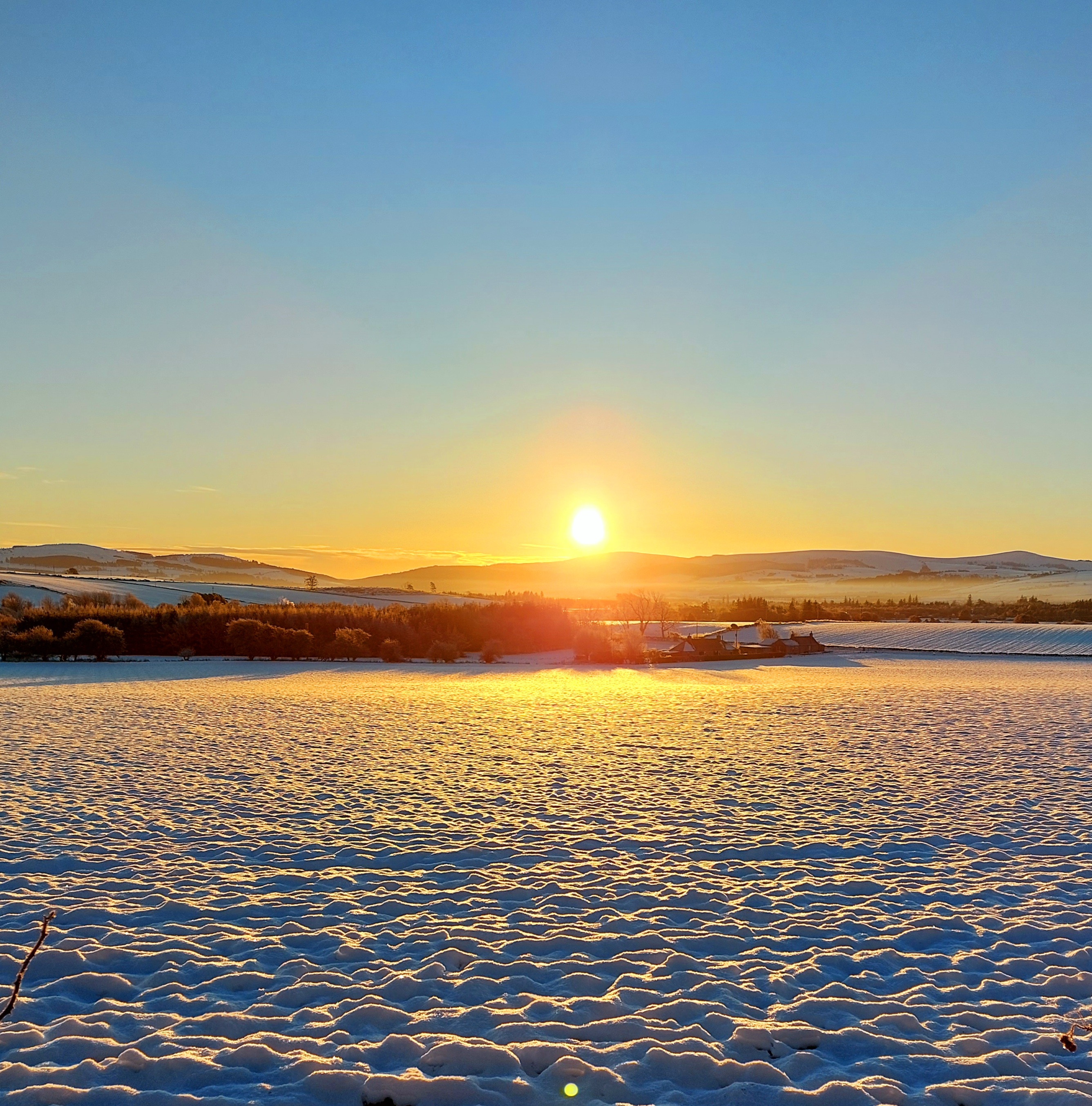
The rain passed through during the afternoon, and back at home we were treated to a fine show as the sun set.  It had been a very pleasant winter day.....

Wednesday, 3 October 2018

At the back of Carn Bhac


Carn Bhac (rocky hill of the peat banks) is one of the less visited of the Munros, requiring a fairly long walk.  The usual route is to combine the hill with another Munro, Beinn Iutharn Mhor, from Inverey on Deeside.  With a full day in early September to spare, I decided on a walk from Inverey which would take me to Carn Bhac by a round-the-back sort of route.


The track heading south from the war memorial in Inverey passes a couple of fine traditional buildings, one a shooting lodge.  One of the estate garrons - sturdy, strong hill ponies often used to bring deer carcasses down from the hill - eyed me up speculatively but obviously decided I didn't look like I had a spare apple since it soon went back to grazing.


Across a patch of level ground another track can be seen angling up the edge of a pine plantation.  This was the path I intended to take, but had walked out on the main path to visit a pleasant spot.


A small rapid on the Ey Burn drops into rich brown pools of peaty water, edged with gently sloping slabs - a picnic spot for a future visit.


I crossed the burn to pick up the track to the west of the Ey Burn (you can also get to this point by walking along the road from Inverey and crossing a small bridge then taking the track leading south).  Ahead, the track climbs steadily up a small valley holding the tiny burn of the Allt Cristie. The angle of climb seems perfect for that steady rhythm of walking which gradually ticks off height gain with little effort.


The track emerges onto a slightly boggy bealach (col) with a nice view back down the glen.  A distant speck resolved itself into a Golden Eagle working along the steep slope, but too far away for a photograph.


To the south, a broad undulating ridge of wind-clipped heather gives easy walking with a real feeling of space and super views.  The jaws of the great pass of the Lairig Ghru were sunlit, but roofed in with summit clouds.


To the north a series of ridgelines marched away in alternating light and shade, one of the features of these great spaces in the sky is the breadth of ground for such plays of light.


At the end of the broad ridge, a view opens up to Carn Bhac, my objective for the walk.  From this angle the hill appears as a breaking wave of scree.  A low intervening ridge was scabbed with the peat banks from which the hill takes its name.  In the whole time I'd been out I'd seen just one other person; it's grand and lonely country at the back of Carn Bhac.

Tuesday, 18 September 2018

A touch of autumn in Morrone Birkwood


We spent a pleasant afternoon walking above the village of Braemar last weekend.  To the south west of the village on the lower slopes of Morrone is the Morrone Birkwood ("Birk" is the Scots name for Birch).  Although named for the Downy Birch (Betula pubescens), the wood has been designated as a Site of Scientific Interest (SSSI) because of the good amount of Juniper Juniperus communis) in the understorey of the wood.

Climbing from the village, a road goes up past a duck pond and becomes a track which climbs to a viewpoint. There's a good view back to the village, which sits in a hollow above the River Dee at 340m/1115 ft.  The relatively high site in a bowl between big hills is part of the reason that Braemar has (twice) recorded temperatures of -27.2 degrees Celsius (-16.9 Farenheit) - a record low for the UK.


The viewpoint has an indicator post mapping all the summits which can be seen - near at hand the main Cairngorms massif looms large.


THere's a definite touch of autumn colour on the high ground now; the heather has turned to rich brown and patches of bracken are bright yellow. 


On the birks, the first sprinkle of gold is among the leaves as this lovely tree starts to colour up towards its climax in early October.


On the woodland floor fungi are numerous and some make for patches of vivid colour such as this Fly Agaric (Amanita muscaria).


Poisonous and hallucinogenic as it is, the Fly Agaric is quite beautiful in its own way - and an early sign of  the purple of late summer beginning to give way to the reds and golds of autumn.

This short walk is about 5km in distance with 120 metres of ascent and takes a couple of hours.  There are sign boards in the village and some waymarking along the path itself - a good short walk with great interest and super views.

Friday, 31 August 2018

A meeting of waters


Climbing up beyond Bynack Lodge, there's a last long view over towards the main Cairngorm group; Beinn Bhrotain in the middle distance, Cairn a Mhaim and Ben Macdui beyond.  The camera hasn't caught it, but I could clearly make out the cliffs of Coire Sputan Dearg (corrie of the red spouts) to the right of the summit cone of Ben Macdui.


The path towards Glen Tilt then enters a green valley below the hidden Loch Tilt known as Bealaidh Sidhean (fairy pass) , which probably recalls the grim Celtic "Sithean" (pronounced Shee-an) rather than the type of fairies with twinkly green outfits.  I've walked this stretch several times but hadn't previously noticed the small milestone in the mossy ground.  Just about 15cm tall, I think the 15 refers to the miles from Blair Atholl to this point.  It's also just about at the county boundary where one steps from Aberdeenshire into Perthshire.


Having crested the rise and gone "over the hill", the way ahead follows the clear stream of the Allt Garbh Bhuidhe (rough yellow stream) as it enters a narrow valley - ahead there's a glimpse of one of Perthshire's best hills, the multi-summited Beinn a'Ghlo which has three Munros.  I tried to recall the last time I'd climbed that fine ridge and decided it's too long ago....another one to go back to soon!


The Garbh Allt Bhuidhe runs through quite a remarkable gorge which looks like a glacial breach.  The path traverses close to the burn, sometimes at a level with the water and sometimes quite high above across steep slopes.


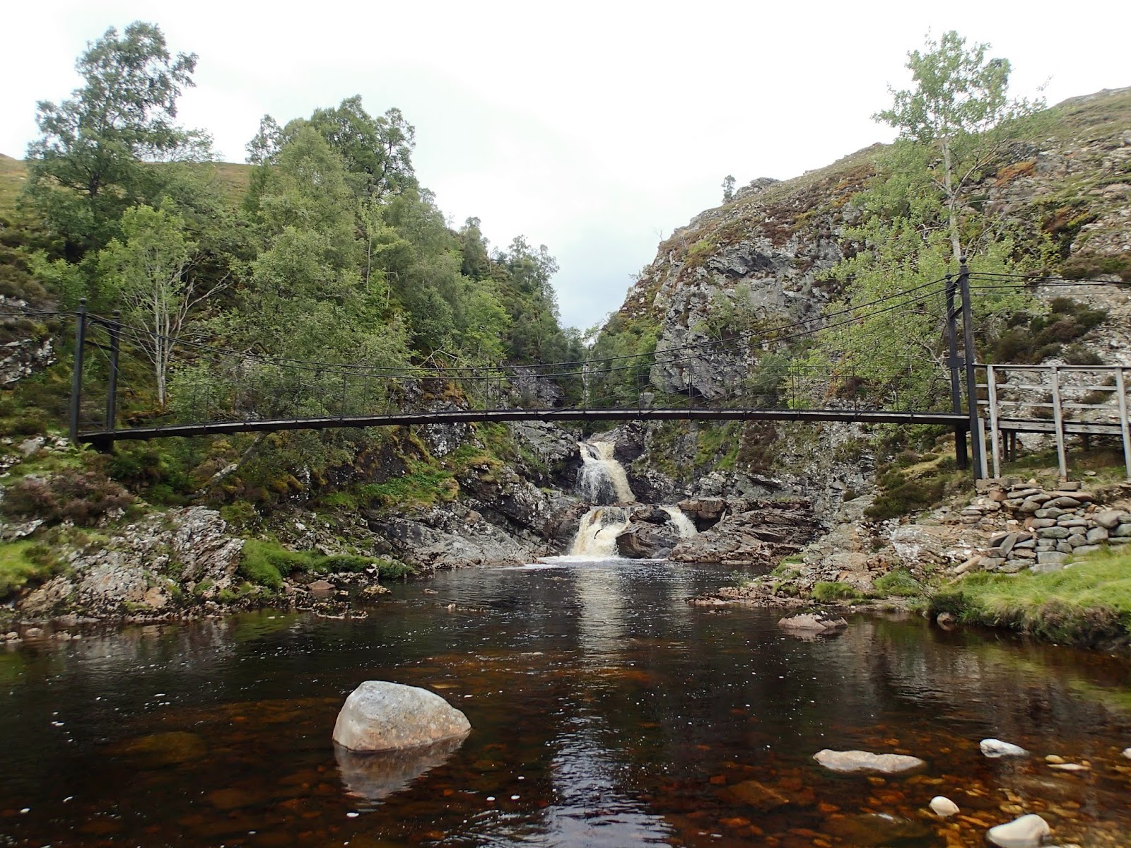
Eventually the burn is joined by the larger Tarf Water at Falls of Tarf, spanned by an elegant iron and timber bridge.  In dry conditions in one of the driest summers for years this is a quiet, pleasant spot; in spate these falls are an impressive sight.


The bridge is known as the "Bedford Memorial Bridge" and commemorates a young man drowned trying to cross the Tarf here in August 1879.  This is a slightly unusual meeting of waters; the Garbh Allt Bhuidhe is joined from the west by the Tarf Water and from the east by the Allt a'Ghlinne Mhoir (stream of the big glen), but from this point the combined waters enter Glen Tilt and are known as the River Tilt.

My route now left the main Braemar to Blair Atholl path and headed up the north bank of the Tarf Water.  There's a path shown on the OS 1:50,000 map, but it's a figment of the cartographical imagination.  The going was terrifically hard on rough and boggy ground, and I wouldn't wish to walk this section again any time soon.


Eventually I arrived at a much flatter area with better walking ground, near the pony stable below Dun Mor.  THe track coming in around the hill can be accessed from Glen Tilt some 3 kilometres down Glen Tilt from the Bedford bridge and if coming this way again I'd use this longer option.

I now had to decide which side of the Tarf Water to use in order to reach my destination for the night; settling for the south side which gave reasonable walking partly on a vehicle track.  After what seemed a long time, my planned accommodation came into view......


.....and after a long and exhausting day, it was a welcome sight - a building standing in splendid isolation in true "mamba" country.

Tuesday, 28 August 2018

Destination "mamba"


Late August in Scotland.  The hills are covered with the purple shades of heather, the sun shines on long days and all things seem possible.  Or......the midges are at their worst, the weather is muggy and oppressive and a heavy green and grey cloak covers the hills.  Towards the end of the month it seemed that there would be a bit of all of these things.  I'd initially planned a sea kayak trip but realised that forecast light winds and overcast conditions along the coasts would mean midge purgatory.

So, I looked for a backpacking trip which would give the opportunity of at least one night in a bothy, giving respite from the biting hordes.  The journey I settled on would take me into some of the most remote country Scotland has to offer - I'd need to be completely self sufficient in shelter and food so that if I didn't make the planned route I could still camp and be relatively comfortable.


Linn of Dee is the starting point for many long walks; to the north you can head off on some of the best known treks in the country; through the Cairngorms from Deeside to Speyside via the Lairig Ghru or the Lairig an Laoigh; or onto the great plateaux of the eastern Cairngorms and over to Donside perhaps.

Heading west, the choice is hardly less enticing - the routes shown on the Scottish Rights of Way Society sign indicate an alternative start to reach the Lairig Ghru and two great through-routes towards the west.

Anyone heading off on these journeys will enter true wild country, and though there are either tracks or defined paths the whole way, the challenges of distance and weather can test the strongest walkers.  Then there are the rivers - the routes to the west require crossings of water which can be running hard and fast; and there are no bridges over two of the most significant rivers.


My plan was to take the first part of the route from Linn of Dee to Blair Atholl, then head into the trackless country west of Glen Tilt to visit one of the most remote of bothies.  This view shows just the first few miles of my route, up the River Dee to the hills beyond.


The first significant river crossing at least has a bridge - White Bridge crosses the Dee and is a meeting point of tracks and paths (though it's not white!).


The view up the valley of the infant River Dee is one of glimpsed giants.  To the left, Beinn Bhrotain at 1108m/3635ft with the flank of the Devil's Point and Cairn Toul beyond -big hills for big days.


After such a dry summer I was confident of finding the water in the next river, the Geldie Burn, low - but I can't ever recall seeing it so low.  The Geldie is termed a "burn" (stream), but make no mistake, this is usually a river and it runs hard and deep in wet weather or during snowmelt; it's often impossible to cross safely and there are no bridges over it.  I've several times arrived here and found it birling along with an ominous rumbling sound of boulders being rolled along its bed - a crossing to treat with caution in normal conditions.

From here on I was entering "mamba" country.  Not referring to venomous snakes, thank goodness, the word is an acronym possibly coined by servicemen sent from southern England to serve in the Highlands and Islands during the Second World War.  "Mamba" stands for Miles and Miles of B*gger All !


Beyond the Geldie a substantial ruin stands in a patch of green sward, a bright spot among the heather.  This is (or was) Bynack Lodge, a ruined 19th century shooting lodge from the days of the great estates.  Perhaps it's the green setting or the trees surrounding the ruin, mainly pines and sycamores, which make this such a pleasant spot; I've always found this ruin a place of peace and have camped here several times.


The ruin has been stabilised by Mar Lodge estate and you can see some of the brickwork used to support the mortared rubble original wall.  There are actually a few ruins here, one building was a game larder with a subterranean meat store, there was a separate building which may have accommodated the staff, traces of kennels, a stable and even a walled garden.

One slightly surreal but enjoyable experience I had here was watching the balcony scene from Shakespeare's "Romeo and Juliet" being performed using the window sill in the left of this image as the balcony - and that can't have happened too many times!


After a final glance through the arched wall aperture back down the Bynack Burn towards Geldie I hoisted my rucksack and headed onwards; there was still a long way to go today, much of it "mamba".