Showing posts with label Culkein Drumbeg. Show all posts

Friday, 8 November 2013

An Old Man's warning


Pushing south against the ebb tide from the Point of Stoer wasn't too difficult and I soon reached the Old Man of Stoer.  A 60 metre sea stack formed of Torridonian Sandstone, it's an instantly recognisable landmark.  Climbed in 1966 by the Aberdonian climber Dr Tom Patey, it remains a popular though committing climb.  There are several stacks prefixed with "Old Man" in Scotland - the similarly named Old Man of Storr in Skye and the Old Man of Hoy in Orkney are the best known.  In each case the term "old man" refers to the priapic appearance of the stack - though another well known and priapic stack (on which Tom Patey was killed whilst abseiling) is known as A' Mhaighdean (the maiden) !


I'd looked across to the stack from the cliffs opposite, but not been this close up before.  From seaward the whole edifice seems to be leaning out gently to the west.  It is possible at certain states of the tide to paddle behind the stack, but not today.

A look to the south showed that the sky was dark grey and lowering, a sign of the approaching weather front which would bring strong wind and rain.  Suddenly, I didn't feel comfortable - a powerful and urgent feeling of unease gripped me.

Perhaps it was a combination of the strangely distorted verticals in the stack and the cliffs, coupled with the unusual motion of the swell which lifted the boat but slid it northwards with each surge.  Whatever, the uneasy feeling and the clear warning in the sky to the south decided the issue; I'd not continue south to Stoer Head lighthouse, but get back around the Point of Stoer as quickly as I could.

This inner, instinctive alarm system has served me well in the past on both mountains and on the sea; I've learned to listen.  I took no photographs on the way back around the point and found the paddling more difficult.  A tense half hour got me around, out of the strong tidal stream in the vicinity of the headland itself and into the relative shelter of the eastern side.


To the south east, Quinag lay under a threatening grey sky, the weather clearly beginning to make felt its presence.

In the boat, I was beginning to feel a sense of euphoria and an easing of tension, but this is no place to relax, there was still several kilometres of paddling along a cliff-girt shore and a tricky headland to pass before I could rest.


I did have time to appreciate the cliff scenery more fully on the way back though.  Contorted and weathered sandstone beds have been tilted and exposed to form some grand formations


It's an exceptional piece of coastline to paddle.


A bay of translucent green water backed by a purple-red boulder beach was a tempting place to try to land but the still powerful swell was a bit too big for comfort - one to save for another day.


Around the point of Rubh an Dunain (which was still as tricky as on the way out) and I could finally land next to the small jetty in Bay of Culkein.  Now the euphoria could be indulged - the rush of endorphins drained the strength from my legs and I felt a little shaky as I walked up to find a seat on the rocks and make a cup of tea.

I'd managed to round Point of Stoer twice in a day, achieved more than I'd thought possible in the day and extended myself to deal with something which intimidates me.  I had no sense of "conquering" the headland, I'd merely stepped out of my comfort zone, into the "elastic zone" and had a fantastic experience.  Had I backed off the point I'd have still had a great day - retreat would be no defeat at all and my decision would have been right for the day and the situation.  Solo sea kayaking puts these choices to a paddler in a very fundamental and direct way; it's part of the solo experience.

But I still had a couple of hours paddling to do, daylight was short and it was time to go.....


The rainstorms were sweeping northwards in grand curtains as I crossed towards Eilean Chrona (the dark, low island in this image).  I've often heard the otherwordly singing of Atlantic grey Seals here and today as I approached the song reached out across the water.

Grey Seals pup in November and it's possible that this is a breeding site because there were large numbers of rather portly seals hauled out.  I didn't want to disturb the animals and decided to give the island a good wide berth - but not wide enough.  A truly huge bull seal launched from the rock and swam purposely towards me, his body language and huffing an unmistakeable warning to stay away.  Somewhat less subtle than my inner system, this "old man's" warning was very effective and I put on a spurt to get clear of his patch!


Soon I was threading the Oldany Island channel and picking through the low tide skerries to arrive back at Culkein Drumbeg as the weather closed in and the wind picked up.  I'd been right to heed the signs at the Old Man.  During the night the wind and torrential rain battered Assynt and washed away hopes of a climb of either Suilven or Stac Pollaidh the following day.  No matter.


Saturday, 2 November 2013

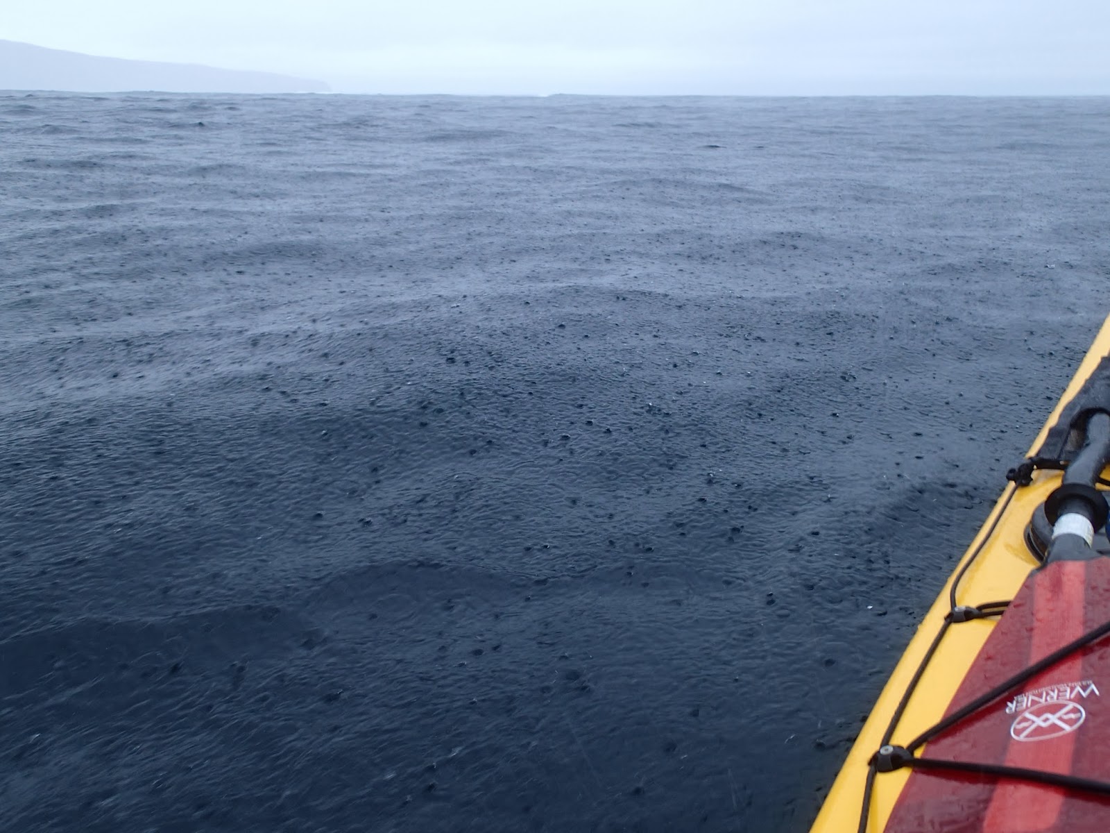
Grey sky and pouring rain - a great day on the water!


The morning after I'd experienced a glorious display of changing light and colour dawned grey and wet.  A partial clearance at breakfast time was encouraging, but the forecast was for a fairly narrow window during the first half of the day followed by deteriorating conditions later.  The twenty-odd miles from Lochinver to Culkein Drumbeg are on very narrow and twisty roads through a spectacular landscape - expect it to take over an hour.

At the tiny jetty of Culkein Drumbeg there's space to park a couple of cars considerately; noting that this is a working jetty.  For the passing sea-kayaker it's worth knowing that there is a water tap at the jetty too, it's on the Assynt Crofters game larder (the left hand, green building in this image).  It was only a few weeks since I'd paddled in this area, though the changed weather and different state of the tide made it all seem completely new.


 It was just after high water one day past Springs, and after exploring around some of the islands and inlets I headed for the channel which separates Oldany Island from the mainland.  This time there was lots of water in the channel and it made a pleasant passge with plenty of birdlife for company.

At this early stage of the morning there was almost no wind and I was in very sheltered water.  If my plan for the day was to come to fruition I'd be paddling in much more open conditions later.


Heading over the open mouth of Clashnessie Bay I once again crossed the geological unconformity which places Lewisian Gneiss adjacent to much younger Torridonian sedimentary rock.  The sedimentary layers of low cliffs and outcrops on the west side of the bay were  clearly visible with their shallow dipping strata well defined.


 As I headed into the Bay of Culkein (similar name but quite a distance from my starting point) the outcrops got a little bigger, the low northerly swell creating a constant low roar and leaving a haze of suspended spray in the calm air.


It's been claimed that Douglas and I have some sort of "Cloud Lever" (TM), or, scandalously, that we only venture out in good weather!  Whilst we are of the opinion that you can sometimes make your own meteorological luck, often it's a case of taking what's on offer.  This day was punctuated with spells of very heavy rain and had a forecast of rapidly rising wind towards the late afternoon.  Nonetheless, it was a great day to be out on the water and I found myself really enjoying the conditions :o)

My onward plans relied on the coincidence of three conditions - relatively low sea states/swell, light winds and favourable tidal conditions.  So far I had two of these, but waiting for the optimum tidal state would risk being in a very exposed place when the wind and sea increased.

I pulled into the shore at bay of Culkein for second breakfast and to consider the options.  It was a wet stop in pouring rain, but over a rapidly diluting cup of tea I worked out a plan I thought would work and formed a "contract" inside my head which would give me the parameters in which to attempt the rounding of one of the best of west coast headlands.

Saturday, 21 September 2013

Culkein Drumbeg, the compact maze


After leaving Loch Ardbhair I turned west, heading towards Culkein Drumbeg.   Yet another aspect of Quinag began to open up, this is the end of Sail Ghorm (the blue heel) which is the northernmost part of the mountain.


 The area around Culkein Drumbeg is a confusing maze of small islands and channels which change almost hourly according to the state of the tide.  At high water it's possible to paddle around most of the islands whilst at low water it becomes challenging to find a way through the maze.  I had about half tide conditions and so had a bit of both here.


 Along the shore there are small headlands......


.......under which caves can be explored.  The low entrance to this one opened into.....


...a green pool and inner grotto.  The sound of waves could be heard though there was almost no water movement on the side through which I entered; I thought that there might be another entrance to this particular cave.


Narrow clefts and channels between the islands frame views of distant mountains.


And there is the odd enticing white sand beach too.  A full day could easily be spent paddling around this compact area while staying within two kilometers of the jetty at Culkein Drumbeg, it's just so full of variety and interest.  The best way to do this would be to time a startfrom the jetty at about half flood tide, to get the maximum options for exploration.


Looking back, the views to the northeast were superb, the ash grey quartzite hills of Ben Stack, Foinaven and Arkle crowding the skyline.